
- Area Map -

This trip did not go as planned, but was still enjoyable. The route I had planned to do through the canyons of the Kanab Creek Wilderness had to be cut short for reasons I will not describe. I had planned to go all the way through Jump-Up canyon to Kanab Creek Canyon, go into some of Kanab's side canyons, all the way to at least Whispering Falls, maybe all the way to the Colorado River within Grand Canyon NP. Instead, we turned back within Jump-Up canyon, just past the juncture with Indian Hollow, which in itself is a nice slot canyon worth exploring. Our route began and ended at Sowats Point, while going through Sowats Canyon, Jump-Up Canyon & Kwagunt Hollow.
The weather during this trip was unseasonably hot. Afternoon temperatures were in the mid nineties, but overnight time temps were comfortable and the skies were clear and moonless – making for brilliant star filled nights. Before we set out we had a forecast showing that the weather was going to turn at the end of the week, with 90 percent chance of thunderstorms by the time we planned on making our exit back to the car. This ended up being a non factor since we exited the canyons earlier than planned. However, by the day we got back up to the car the cirrus clouds were overhead, proving that the weather was about to change for the worse within 24 hours.
Our group ended up spending four days backpacking these canyons, two days in and two days back after deciding to turn around. We drove from Austin, making stops at Hubbell Trading Post on the way out there and at Walnut Canyon National Monument (Flagstaff, AZ) and Petrified Forest National Park on the way home. Prior to beginning our backpack in the canyons we camped at the Forest Service campground in Jacob Lake, AZ.
I plan on making a return visit to this area someday to complete the route I had intended to do. The sooner the better.....

Map of Our Route (in red)

PICTURED BELOW: Me in front of Hubbell Trading Post, Arizona, one of this most important spots in the Navajo and Hopi Nations.

PICTURED BELOW: Rug room in Hubbell Trading Post

PICTURED BELOW: If bars on your phone could go into negative numbers, it would happen here - Navajo Lands.

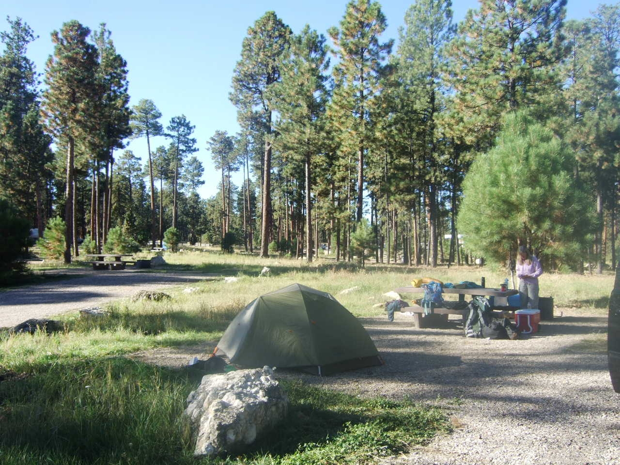
PICTURED BELOW: We car camped in Jacob Lake, AZ (just outside the Kanab Creek Wilderness) the night before heading out to Sowats Point to begin the hike
PICTURED BELOW: Me & Smokey

PICTURED BELOW: View of slick rock & the Kaibab Plateau

PICTURED BELOW: wake up call at night one camp - James (L) & Me (R)

PICTURED BELOW: water pool on the Esplanade, near Sowats Canyon

PICTURED BELOW: Us walking on the Esplanade, near Sowats Canyon

PICTURED BELOW: Mountain Sheep Spring in Sowats Canyon - the only reliable water source in Sowats Canyon. At this spring were several photogenic pools and waterfalls in the slick rock

PICTURED BELOW: In the Jump-Up Canyon Narrows

PICTURED BELOW: In the Jump-Up Canyon Narrows

PICTURED BELOW: In the Jump-Up Canyon Narrows

PICTURED BELOW: Our camp in Jump-Up canyon (not an ideal spot). It would not have been a good idea to camp here if there had been any chance of rain, but this was the only spot to camp near our Kwagunt Hollow exit & close to a water pool.

PICTURED BELOW: view down Jump-Up canyon

PICTURED BELOW: A juvenile Common Chuckwalla (The Austin Reptile Service helped me identify the species).

PICTURED BELOW: Raising packs at one of the big pour offs in Kwagunt Hollow. I'm in the black long sleeve shirt.

PICTURED BELOW: Me after raising packs at a pour off in Kwagunt Hollow. I few feet from where I'm standing is where that orange & black lizard was. The big white boulder just to the right of my head in this photo is the area where we had to climb/scramble up the side of the canyon to get over this pour off.

PICTURED BELOW: Ledge walking to avoid an obstacle in Kwagunt Hollow

PICTURED BELOW: Ledge walking along the canyon wall to get over and past this second large pour-off in Kwagunt Hollow. This required walking right up to the edge of this cliff & I felt the exposure in a few places. Katie took this pic. I'm seen in the photo down at the bottom of the canyon below the pour off and the other two guys in the group can be seen at the top of the pour off.

PICTURED BELOW: A small waterfall in Kwagunt Hollow. These were ubiquitous in this canyon.

PICTURED BELOW: climbing around a waterfall in Kwagunt Hollow

PICTURED BELOW: A photogenic pool in the slick rock within Kwagunt Hollow

PICTURED BELOW: Me in Kwagunt Hollow

PICTURED BELOW: Camp within Kwagunt Hollow

PICTURED BELOW: Me at the water source (a small pool in the rocks & sand) for our Kwagunt Hollow camp

PICTURED BELOW: flying saucer shaped rocks at the head of Kwagunt Hollow

PICTURED BELOW: Leaving a group of cottonwood trees located near the head of Kwagunt Hollow - a nice shady spot to take a break.

PICTURED BELOW: Heading back up to the top of the plateau

PICTURED BELOW: Getting back to the top of the Kaibab Plateau. In the background are the network of canyons we had been in.

PICTURED BELOW: Blue Mesa in Petrified Forest National Park, Arizona

PICTURED BELOW: On the way home I found myself "standing on a corner in Winslow Arizona......"
