
PICTURED BELOW: Entrance to Park on Hwy 385 (south from Fort Stockton, TX; then Marathon, TX)

PICTURED BELOW: Canoe Trip through Hot Springs Canyon, Rio Grande River, Big Bend National Park

PICTURED BELOW: Canoe Trip through Hot Springs Canyon, Rio Grande River, Big Bend National Park

PICTURED BELOW: The Hot Springs & Rio Grande River; Big Bend National Park (Picture taken before I took a long soak in the Hot Springs)

PICTURED BELOW: Me near the mouth of Santa Elena Canyon with the Rio Grande River; Big Bend National Park

PICTURED BELOW: Mouth of Santa Elena Canyon

PICTURED BELOW: View of the Sierra Del Carmen from Rio Grande Village in Big Bend National Park

PICTURED BELOW: Portion of the Chisos Basin Lodge in the Chisos Basin in Big Bend National Park (complex in the Basin includes the lodge, cabins, a restaurant, small grocery store, ranger station, amphitheater, group campground and individual site campground)

PICTURED BELOW: View out of "The Window" (Carter Peak @ left & Vernon Bailey Peak out of shot to the right); Chisos Mountains; Big Bend National Park

PICTURED BELOW: Looking towards Emory Peak from the Chisos Basin, Chisos Mountains; Big Bend National Park
PICTURED BELOW: Hiking out of the Basin on the "Pinnacles Trail"; Chisos Mountains; Big Bend National Park

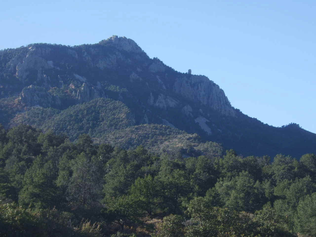
PICTURED BELOW: Casa Grande Peak; Chisos Mountains; Big Bend National Park

PICTURED BELOW: Trail Junction Sign; Chisos Mountains; Big Bend National Park

PICTURED BELOW: View from portion of Boot Canyon Trail; Chisos Mountains; Big Bend National Park

PICTURED BELOW: Portion of Boot Canyon; Chisos Mountains; Big Bend National Park

PICTURED BELOW: "Boot Rock" & Crown Mountain; Chisos Mountains; Big Bend National Park

PICTURED BELOW: Portion of Boot Canyon Trail; Chisos Mountains; Big Bend National Park

PICTURED BELOW: Backcountry Ranger Cabin (left); Hiking in a stand of Arizona Cypress on Boot Canyon Trail; Chisos Mountains; Big Bend National Park

PICTURED BELOW: View from portion of Juniper Canyon Trail; Chisos Mountains; Big Bend National Park

PICTURED BELOW: View from portion of Juniper Canyon Trail; Chisos Mountains; Big Bend National Park

PICTURED BELOW: "Zone" camping near the mouth of Juniper Canyon; Big Bend National Park

PICTURED BELOW: View from Dodson Trail; Sierra Quemada (Chisos Mtn. southern foothills); Big Bend National Park

PICTURED BELOW: View from Dodson Trail (and me); Sierra Quemada (Chisos Mtn. southern foothills); Big Bend National Park

PICTURED BELOW: View from Dodson Trail; Sierra Quemada (Chisos Mtn. southern foothills); Big Bend National Park

PICTURED BELOW: View on the trail to the top of Emory Peak (Crown Mountain in the background); Chisos Mountains; Big Bend National Park

PICTURED BELOW: Me and the view down Blue Creek Canyon; Chisos Mountains; Big Bend National Park

PICTURED BELOW: View off the South Rim of the Chisos Mountains; Big Bend National Park

PICTURED BELOW: Sunset on the South Rim

PICTURED BELOW: Me on the South Rim of the Chisos Mountains; Big Bend National Park

PICTURED BELOW: Stephen (left) and Will (right) on the South Rim of the Chisos Mountains; Big Bend National Park

PICTURED BELOW: View off the South Rim of the Chisos Mountains; Big Bend National Park

PICTURED BELOW: View off the South Rim of the Chisos Mountains; Big Bend National Park

PICTURED BELOW: Me at the South Rim of the Chisos Mountains; Big Bend National Park; on a cold morning
