
Trip Summary: We flew into Billings, MT and drove to the park, with the group meeting at a hotel in East Glacier. The next morning we drove to the northeast corner of the park. The park closes the portion of Hwy 7 inside the park during that time of year. (Most of the park services were shut down by that time of year). So we had to add 3 miles of highway to our backcountry hike each way to and from the cars. The backcountry hike lasted five days, although the portion of the hike to Stoney Indian Pass had to be called off because of bad weather. The hike route went from near Chief Mountain Customs, down the Belly River Valley, up the Mokowanis River Valley to Mokowanis Lake (while passing Cosley Lake & Glenns Lake), then back the same way. The additional two days I had planned to stay at the park had to be called off because of a winter storm. The flight home was from Billings.
PICTURED BELOW: Me at the Glacier National Park Entrance (and closed gate) on Hwy 7 on the far northeastern side of park; near Chief Mountain Customs about 3 miles from the U.S./Canada Border

PICTURED BELOW: The yellow is Aspen trees in fall color; the peak is Chief Mountain; Glacier National Park

PICTURED BELOW: Gable Mountain??; Glacier National Park

PICTURED BELOW: I don't know what the name of this mountain is. This is on the very far northeast side of Glacier National Park

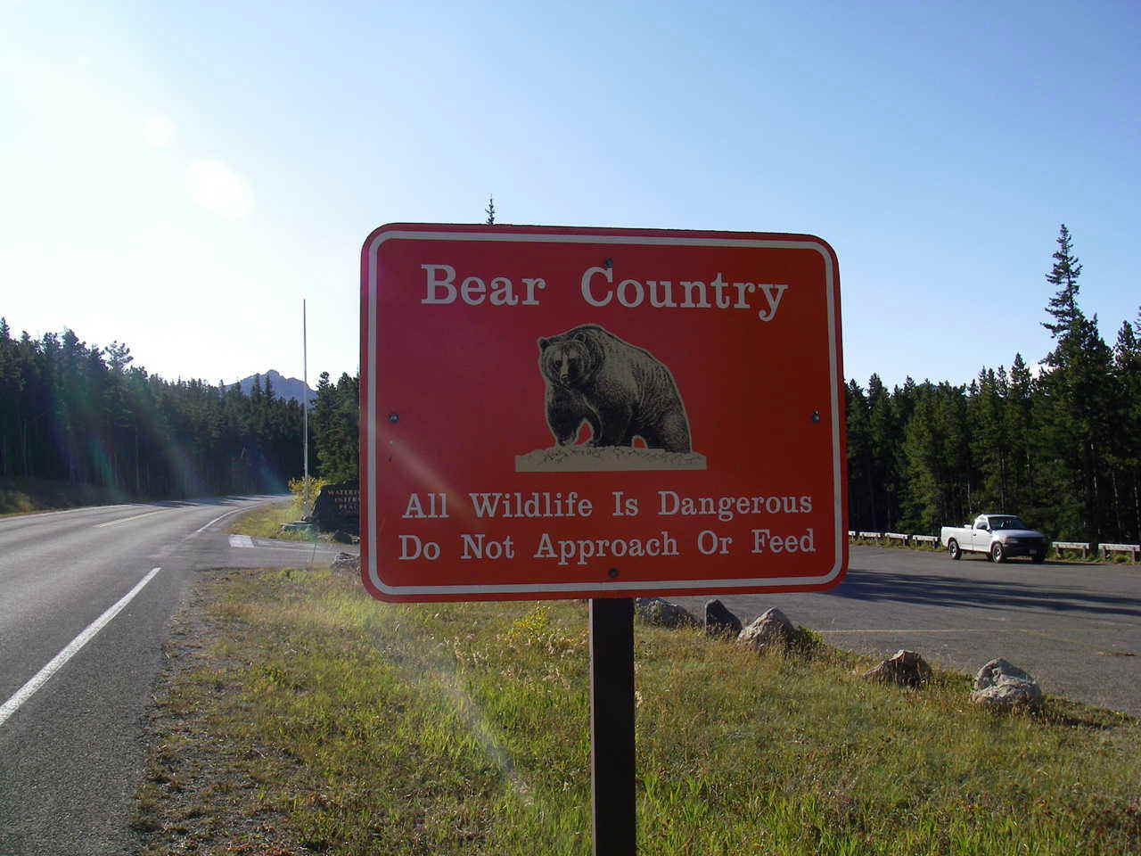
PICTURED BELOW: Glacier National Park is one of the only places left in the Lower 48 of the U.S.A. where there is a large population of Grizzlies.
PICTURED BELOW: Me eating a snack by the side of Hwy 7 before entering the backcountry (near Chief Mountain Customs); Glacier National Park

PICTURED BELOW: Bear Mountain from a meadow in the Belly River Valley; Glacier National Park

PICTURED BELOW: Sentinel Mountain from a meadow in the Belly River Valley; Glacier National Park

PICTURED BELOW: Bear Mountain and the Belly River; Glacier National Park

PICTURED BELOW: Sentinel Mountain and the Belly River; Glacier National Park

PICTURED BELOW: Hanging our food, trash & other smellable items out of the reach of bears; Gable Creek primitive backcountry campsite; Glacier National Park

PICTURED BELOW: Pasture at the Belly River Backcountry Ranger Station (this is about 7 miles from the road & all supplies to the station are brought in by pack mule & horse or are carried in). This was right next to our night one backcountry campsite at Gable Creek. The Belly River Ranger station was closed this time of year. Pictured are the pasture, the aspens and Cosley Ridge

PICTURED BELOW: Belly River Backcountry Ranger Station & Pasture

PICTURED BELOW: Belly River and Cosley Ridge; Glacier National Park

PICTURED BELOW: Me at Gros Ventre Falls; Glacier National Park

PICTURED BELOW: Gros Ventre Falls; Glacier National Park

PICTURED BELOW: Cosley Lake and the Stoney Indian Peaks; Glacier National Park

PICTURED BELOW: Me near the foot of Cosley Lake

PICTURED BELOW: Snow blowing across Cosley Ridge above our campsite at Mokowanis Lake; Glacier National Park

PICTURED BELOW: Mokowanis Lake; Glacier National Park

PICTURED BELOW: A rare break in the clouds above the Stoney Indian Peaks (taken from Mokowanis Lake); Glacier National Park

PICTURED BELOW: Waterfall above Mokowanis Lake; Glacier National Park

PICTURED BELOW: Waterfall above Mokowanis Lake; Glacier National Park

PICTURED BELOW: Me at some of the Waterfalls above Mokowanis Lake; Glacier National Park

PICTURED BELOW: Portion of Cosley Ridge; near Mokowanis Lake; Glacier National Park

PICTURED BELOW: Portion of Cosley Ridge; near Mokowanis Lake; Glacier National Park

PICTURED BELOW: Me (left) & Paul Davis (right) in front of Mokowanis Lake & Pyramid Peak; Glacier National Park

PICTURED BELOW: Hiking towards the foot of Glenns Lake, Glacier National Park

PICTURED BELOW: Me (left) and James (right); Glacier National Park

PICTURED BELOW: Cosley Lake and Chief Mountain; Glacier National Park

PICTURED BELOW: Belly River Backcountry Ranger Station

PICTURED BELOW: Mount Merritt; Glacier National Park

PICTURED BELOW: Mokowanis Valley from the Belly River area; Glacier National Park

PICTURED BELOW: Me in front of the Pasture at the Belly River Ranger Station

PICTURED BELOW: Mountains inside Glacier National Park from East Glacier Village as we were leaving

PICTURED BELOW: Great Falls, Montana & the Missouri River

PICTURED BELOW: Just north of Billings on the drive back
